
Swiss love their passes that unlock a cheap access to places in nature. And I love having a good overview by having said places displayed in a mapping app of my choice.
For this year I decided to buy Magic Pass, which unlocks tons of travel destinations. Sadly there is no good map showing all the places of validity.
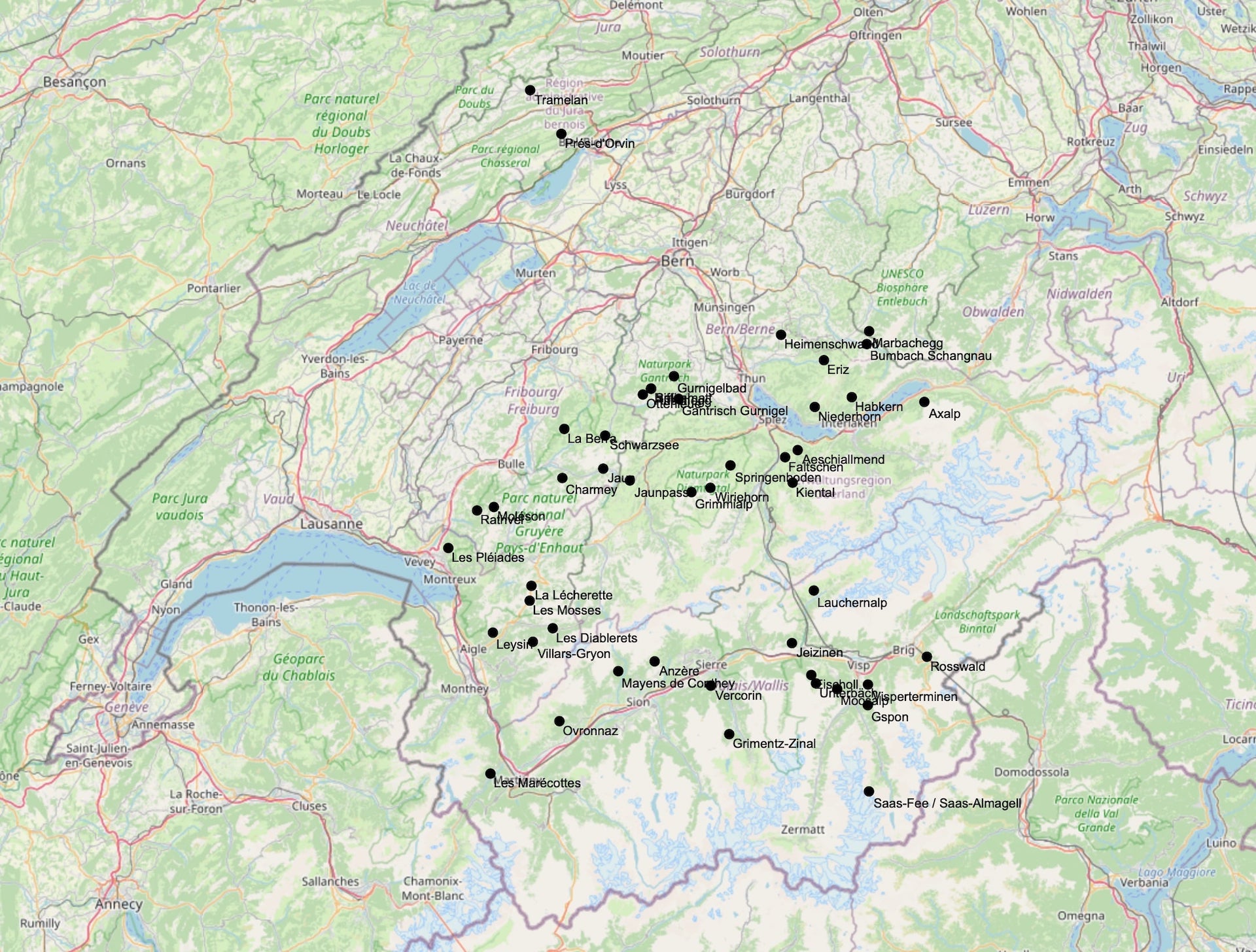
Luckily I'm a developer and I can solve this. So I created a wee script that parses Magic Pass website for individual destinations and then uses a free Geocoding API to translate places names into GPS coordinates.
Up to date resulting GPX can be downloaded from MagicPass2GPX project GitHub / Magic Pass.gpx.
Screenshot
Final notes
I'm happy to help out with similar projects, in case you happen to have one in mind feel free to contact me on: